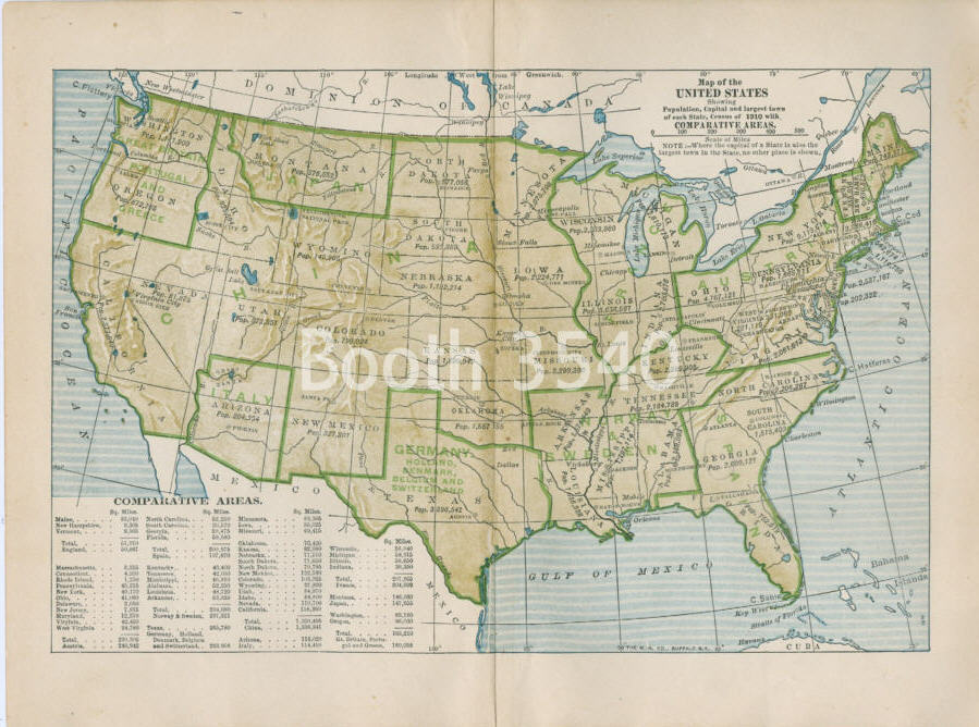
Map Information Window


This piece is rated as a
VALUE
it is perfect if you are looking for a bargain in an antique print.
--$5.95-- $4.76 with 20% Interior Designer discount
Stock Number: 2725

126 Years Old
Map Of The United States Show Population Capital And Largest Town Of Each State Census Of 1910 With
Blank on Back


Click on picture to enlarge


Click on the magnifying glass to view a high resolution
detail of an image from this publication showing the
type of quality you can expect from this piece.
Printer-friendly receipt to show your client
Printer-friendly preview of map to show your client
Printer-friendly preview of the quality to show your client
Printer-friendly preview both map and quality on one sheet.
Title: "Map Of The United States Show Population Capital And Largest Town Of Each State Census Of 1910 With "
Page Size: 10.00 in. Wide x 7.75 in. High
Note:
Printing Method: Chromolithograph
Date: 1898
Source: "A History of the United States", 1913 by Wilbur F. Gordy


A frame of this size could be used for this piece.
Suggested ready-made frame size for this image
Show all offerings in "A History of the United States"